Northern Lake Garda – overview & flow
Ora, Pelér & weather for the northern Lake Garda today – plus an animated flow map between our stations (wind accelerates where the lake narrows; colour & speed = strength).
Live from the water
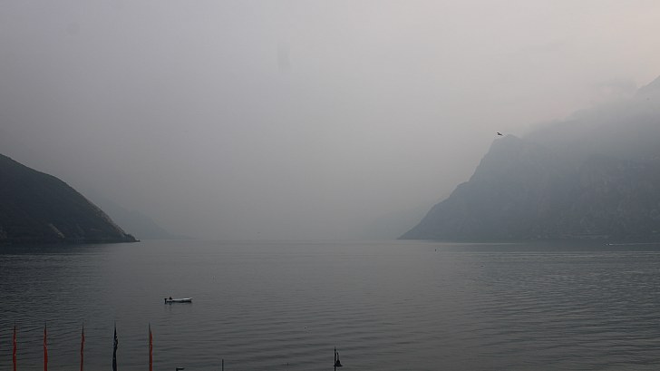 Torbole17:40:00
Wind over the next 4 days
Tap/hover a station: live measurement + webcam
Why is it windy? – the driver
For advanced users: the current drivers behind Ora and Pelér – so you can read whether and how reliably the wind will come.
Ora & Pelér driver (pressure gradient)
Pressure difference Po plain−Bolzano (Ghedi−Bolzano) – the most important driver for BOTH winds. Positive (green, top): higher pressure in the Po plain, the air flows up the lake – Ora (south, afternoon). Negative (blue, bottom): higher pressure to the north, the air flows down the lake – Pelér (north, night/morning). The dashed lines show from when it usually carries; they apply to this scale – other charts reduce pressure to sea level differently and differ by about one hPa.
Pelér driver: northerly situation (Innsbruck−Bolzano)
Pressure difference Innsbruck−Bolzano across the main Alpine crest: higher pressure to the north (blue, top) supports the night-time Pelér; if the difference is large and the air flows strongly from the north across the Alps, north foehn can develop. Higher pressure to the south (grey, bottom) takes away the Pelér's drive.
Ora driver: sun in the mountains
Solar radiation in the mountains north of the lake (Adige valley/Trento). The sun heats the valleys there more than the Po plain – this creates the pressure difference that drives the Ora. If it is cloudy there at midday, the Ora breaks down.